Making your own vector tiles on Windows
Making your own vector tiles on Windows
Making your own vector tiles on Windows
Do you need to scrap a thousand of tweets in a few lines of code ? One word : Twint ! Twint is a really nice and simple python library for scraping Twitter account or keywords. There are a lot of python modules that can do this task, so what are the […]
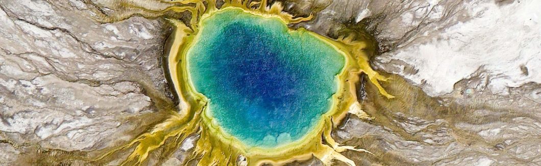
I will share with you a few beautiful maps I saw in previous days on Twitter, Reddit, GIS websites or during my googling sessions… 3D elevation + 1899 USGS Grand Teton map by Scottreinhard Algonquin Canoe Trip Map by WarrenDz Crown of Aragon 1209-1446 by Cyowari Regional population structures at […]
PVous pouvez retrouvez la première partie de cette série de tutoriels consacrée à l’installation de Geoserver sur AWS ici ! Maintenant que vous disposez d’un accès SSH (cf : première partie), il est temps de passer aux choses sérieuses ! Nous allons désormais voir comment installer Geoserver sur votre espace distant. […]
The purpose of this article is to walk through the steps necessary to install a GeoServer on an AWS EC2 instance. Installer GeoServer en local sur votre PC est un jeu d’enfants. Le soft s’installe sans difficulté et la ressource facilitant la mise en place d’un serveur cartographique abonde sur […]